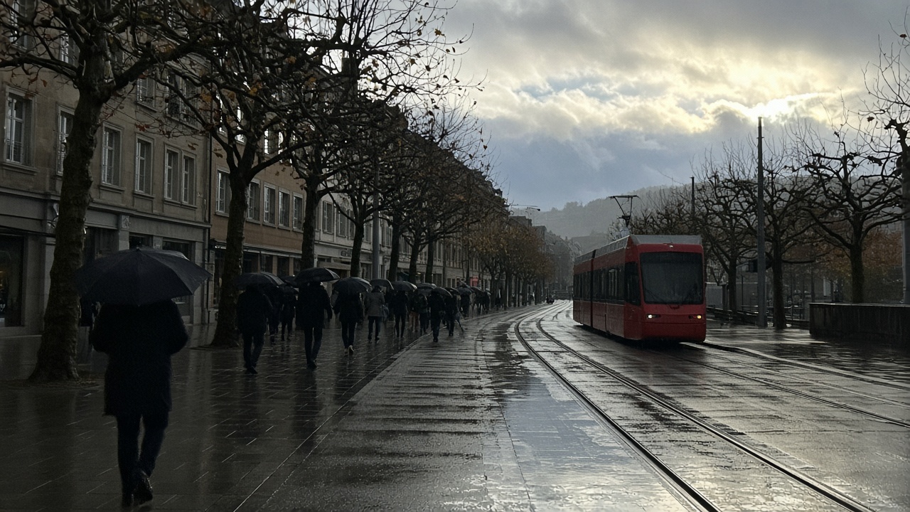
ZURICH. Wednesday is mild, wet in spells, and windy where the land rises. MeteoSwiss describes a busy run of Atlantic lows, with Switzerland on the mild side of them in a south-westerly flow. In German-speaking Switzerland and in northern and central Grisons the day starts heavily cloudy and, in many places, still dry, with fog possible on the plateau. Showers arrive from the west. They can be heavier toward eastern Switzerland later in the afternoon. Between the showers there are longer dry spells, and at times some sun. The snow line sits around 2,400 to 2,500 metres.
Afternoon temperatures in the lowlands are about 13 degrees, and locally up to 14. The Rhine valley at Chur can reach 16. At 2,000 metres the temperature is about 6 degrees. The south-west wind is moderate in the mountains and strong at times on the pre-Alps and the high Alps, with a touch of foehn. Northern and central Grisons can see sunny breaks and stay mostly dry. This is a different day from Tuesday, when the rain was already on the ground in the morning and the dry spells spread from the west. Wednesday brings the showers back, rather than clearing them away.
West, south, and the high Alps
Western Switzerland and Valais follow the same broad pattern: thick cloud, showers at times, and more frequent rain in the northern Jura during the afternoon. The snow line there is nearer 2,500 metres. Short bright intervals are possible, above all in the Alps. Lowland highs run from 10 to 15 degrees. The south-west wind on the plateau is moderate at times in the afternoon, and moderate to strong in the mountains. Peaks above about 2,000 metres stay in cloud for much of the day. Above 3,000 metres, forecasters expect 1 to 3 centimetres of new snow.
South of the Alps and in the Engadine the cloud is thick, with a few bright spells in the morning, most likely in the Lower Engadine. Light precipitation is not ruled out in the second half of the day, especially along the Alps. In the night before Thursday, rain arrives on the south side. The snow line there is around 2,300 metres. Afternoon temperatures in the southern lowlands are about 12 degrees, and about 8 in the Upper Engadine. At 2,000 metres it is nearer 3 degrees, with a little fresh snow above about 2,400 metres.
Thursday stays mild, and Friday turns
Thursday still sits in mild, moist air from the south-west, as a weakening low moves from the Iberian Peninsula toward the southern Alps. Friday is the turn. A high is expected to build from the British Isles toward central Europe, bringing a strong bise and drier polar air to the north side of the Alps, with a north wind in the south. Anyone planning a mountain day should treat Wednesday’s wind, not the 13 degrees on the plain, as the figure that matters. An exposed ridge in a strong south-westerly is a poor place to discover that the valley felt mild.
MeteoSwiss has also described why this rain is useful. Much of the country is still living with the dry year: low rivers, low groundwater and reservoirs that are only partly full. The last widespread rain on the north side, before this wetter spell, was already two weeks gone. The encouraging part of the current pattern is that the water is spread over several days rather than dumped in one evening, which gives it a chance to soak in. A flood is not the central risk in that reading. The smallest totals are likely in the southern valleys of Valais and in Grisons, because the wind is mostly from the west. For winter sport the same pattern is less kind. With a snow line around 2,500 metres into Thursday, new snow is likely to settle only above about 2,700 to 3,000 metres.
What to wear, and what to watch on Friday
A waterproof layer is the right call for a Wednesday on the plateau, even if the morning looks dry. The showers are the afternoon problem, and they are more likely to be heavy toward the east on the way home. Fog on the plateau in the morning can sit on the roads before the rain arrives. Cyclists on the western plateau should expect a moderate south-west wind by afternoon, and should leave room at the kerb where the wind shifts.
Bern opened heating oil stocks on Tuesday because a low Rhine and late orders have left the trade tight, not because Wednesday is a cold day. It is not. Friday’s polar air is the first hint of a colder turn. A household that has been waiting for a cheaper fill should not read 13 degrees as a reason to wait through the weekend. The compulsory stock is a bridge for supply. The weather that empties a tank is the weather that arrives after the mild rain, not during it. Check the Friday forecast before you decide the oil delivery can wait.