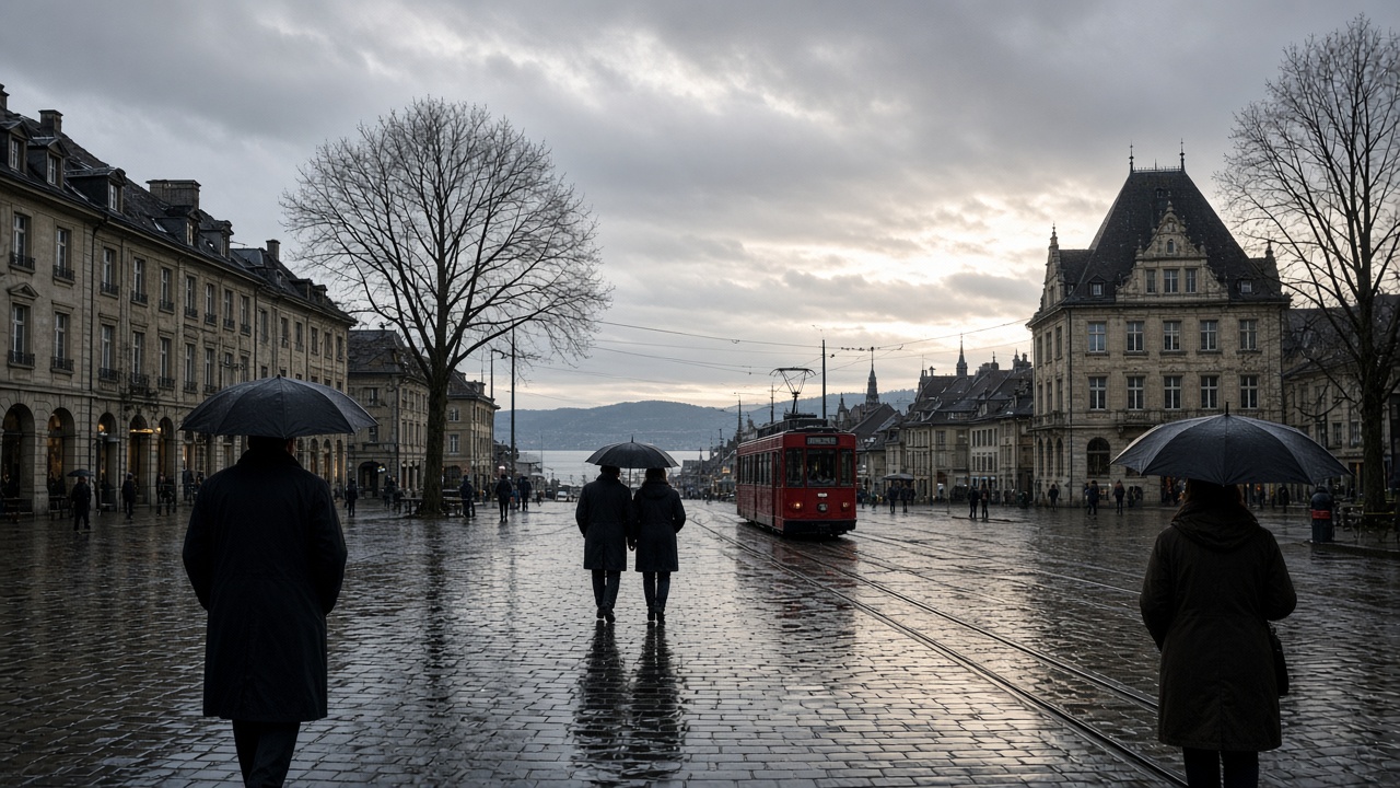
ZURICH. Tuesday stays grey, but it does not stay wet everywhere. MeteoSwiss, in a forecast updated late on Tuesday morning, said German-speaking Switzerland and northern and central Grisons began under thick cloud and frequent rain, with a snow line around 2,400 metres. Through the day, drier spells and brief bright intervals spread from the west. Along the eastern pre-Alps, rain can continue into the evening. In the night before Wednesday, rain returns from the west on the plain.
Afternoon temperatures are around 13 degrees. In the mountains the south-west wind is moderate, and on the high Alps it is strong at times, from the south-west to the west. At 2,000 metres the temperature is about 5 degrees. That is a milder day than Monday, when the north was wetter and the highs sat nearer 9 degrees. The change is the timing of the dry spells, not a settled return of the sun.
Where the rain is heaviest, and where it eases
A rain warning at level 2, moderate danger, covered the period from Monday afternoon to midday on Tuesday, with 25 to 35 millimetres expected and a snow line near 2,500 metres. MeteoSwiss said water levels can rise where the ground is already soaked, and pointed to flood warnings from the federal environment office. Zurich’s local forecast put the day between about 8 and 13 degrees, with around 12 millimetres of rain. Basel was similar, a little cooler at the top of the range. A valley on the eastern pre-Alps can still be in rain when the Lake Geneva shore is brightening.
Western Switzerland and Valais were also heavily cloudy, with precipitation early on along the Alps and only isolated light rain after that. The snow line there was nearer 2,600 metres. MeteoSwiss said the Lake Geneva shore and Valais could see bright intervals in the afternoon, with highs of 10 to 15 degrees in the lowlands and about 6 degrees at 2,000 metres. South of the Alps the morning was cloudy with some rain, mostly dry in southern Ticino, and a snow line near 2,100 metres. The afternoon turns drier, with a few bright spells and a mostly clear evening. The lowlands there are around 12 degrees. The Upper Engadine is nearer 7, with cloud lasting longer.
Wednesday brings the rain back
Wednesday starts changeable to heavily cloudy, with short sunny breaks. Fog is possible on the plain in the morning, with a top around 600 metres. Rain arrives again from the west during the day. The snow line is around 2,500 metres. Morning temperatures in the lowlands are about 8 degrees, afternoon highs again about 13, and up to 16 in the Rhine valley at Chur. The south-west wind in the mountains is moderate to strong. At 2,000 metres it is about 6 degrees.
Thursday is the day the air turns cooler. Cloud and rain from the south-west occupy the first half of the day, with a snow line near 2,300 metres, then further precipitation spilling over the main Alpine ridge from the south. The northern edge of the country can still see some rain. Elsewhere it is mostly dry under variable cloud, with foehn breaks on the northern slope of the Alps. By evening, precipitation spreads again from the west, and the snow line is forecast to fall in the night to between 800 and 1,200 metres. Afternoon highs on Thursday are around 10 degrees, and up to 15 in Alpine valleys if the foehn blows.
What to wear, and what to watch
For a Tuesday afternoon on the plateau, a waterproof layer still earns its place: the dry spells come from the west and do not cancel the rain in the east. Wednesday is the day to plan around, because the rain comes back and the morning can sit in low fog. Thursday night is the first hint of proper snow lower down, if the snow line does fall towards 800 metres. Further out, MeteoSwiss describes an unsettled pattern into the following week, with highs that could slip towards 7 degrees and showers still possible. The compulsory oil release and the weather are the same season. A colder turn is when the tanks that were left half empty become a queue.