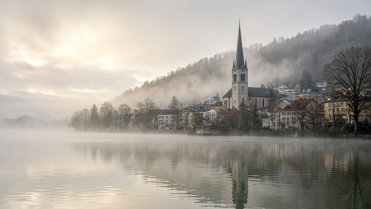
ZURICH. Sunday is the mild, bright pause in a week that was grey and then wet. MeteoSwiss says morning fog is lying in many places across German-speaking Switzerland, western Switzerland and Valais, and that it should mostly break up. The afternoon is fairly sunny, with temperatures around 10 degrees. In southern Switzerland and the Engadin the day is dry and often sunny, and a little warmer, around 12 degrees.
The change from Friday, when rain spread across the country and the snow line sank towards 1,600 metres, is the wind and the cloud, not a new season. Highs on the plateau are back where they were before the rain, close to the seasonal mark. The Sunday outlook published by MeteoSwiss puts the daytime peak near 10 degrees on the northern and western plain and near 12 degrees south of the Alps. Overnight lows are in single figures above zero in the lowland, and below zero only on the high peaks.
Where the sun is, and when the cloud returns
The useful split is the time of day. Morning plans on the plateau should assume fog, low cloud and a slow start for anything that needs a view or a dry road in the shade. By the middle of the day the same valleys are the bright part of the map, provided the fog does what the forecast expects and lifts. It will not lift at the same hour in every basin. A lakeside that is clear at ten can still have a neighbour in the murk.
The west sends the next cloud. Fields of it arrive in the evening, and rain is possible in the night leading into Monday. The south-west wind freshens, especially higher up. That is a mountain and a pass warning more than a city warning. Sunday afternoon on the plain is not the moment the rain starts. Sunday night might be.
Monday is cooler, and the week then turns milder
The eight-day chart MeteoSwiss updated on Sunday morning keeps the north in a narrow band: about 5 to 10 degrees today, 4 to 9 on Monday, then 7 to 12 on Tuesday and 8 to 13 on Wednesday. Western Switzerland is similar, a touch milder on Tuesday and Wednesday. The south stays the warm side of the map, with Thursday and Friday the brightest of the outlook, Friday reaching about 15 degrees. Next weekend turns colder on the north side of the Alps, with highs back towards 6 to 8 degrees. None of that is a snowfall warning for the cities.
Sunrise is at 07:22 and sunset at 17:06, so the bright window, once the fog has gone, is a short one. The seven-day forecast for Zurich, Geneva, Bern, Basel, Lugano and St Moritz is on the weather page. Use the morning for the fog, the afternoon for the sun, and do not leave a summit walk so late that the evening cloud and the freshening wind are the conditions you walk down in. Monday’s rain, if the night delivers it, is a commuter problem. Sunday itself is a coat, not a winter coat.