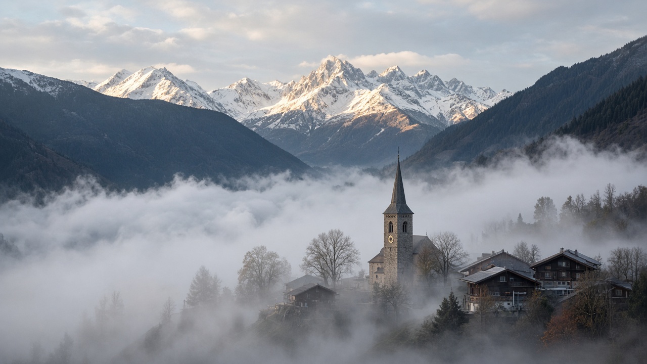
ZURICH. Thursday sits between a high over northern Europe and a low over the Mediterranean, and the weather that produces is familiar for early November: high fog on the north side of the Alps, a weak bise, and a cloudier, mostly dry day south of the ridge. MeteoSwiss puts the top of the fog at just under 1,500 metres. That is lower than the deck at the start of the week, when the top ran towards 2,000 metres, and a little under Wednesday’s range of 1,300 to 1,600.
On the northern side, in central Graubünden, in western Switzerland and in the Valais, the day starts in that fog and is otherwise mostly sunny above it. Through the day the deck is expected to break in places, with sunny spells rather than a full clearance guaranteed. The bise, which was the feature of Tuesday, is down to a light wind. In the Alps the flow is somewhat foehn-like. None of that is a storm forecast. It is a forecast about whether a town comes out of the grey by lunchtime.
South of the Alps, cloud rather than fog
The south and the Engadin get a different day. MeteoSwiss expects the sky to stay often cloudy, with some breaks possible, and the weather mostly dry. Ticino’s own afternoon readings on Thursday were already in the low teens under broken cloud, which fits a day that is dull rather than wet. Anyone driving the Gotthard or the San Bernardino is crossing from fog and weak bise into cloud, not into a rain band.
The practical difference from Wednesday is the wind. Wednesday’s story was a bise that had begun to ease, with afternoon highs on the northern plateau of 6 to 10 degrees and up to 13 in the Valais. Thursday’s bulletin does not hang a new set of town-by-town highs on the national outlook. It hangs a fog top, a light wind, and a south that stays cloudy and mostly dry. For the plateau, that means another morning of headlights on the motorway, and a better chance than on Tuesday that the church spire is in sun before the end of the working day.
What is worth planning around
Above the fog, the Alps are the bright part of the map, with a touch of foehn. Below it, the plateau is the grey part, and the grey is thinner than it was. The south should not expect a washout, and should not expect a clear blue day either. MeteoSwiss will update the regional warnings if the low to the south throws more cloud, or a little precipitation, back against the Alps. On the outlook published for Thursday, that is a risk at the margins, not the main forecast. The main forecast is a lower fog, a weaker bise, and a country still split by the ridge.