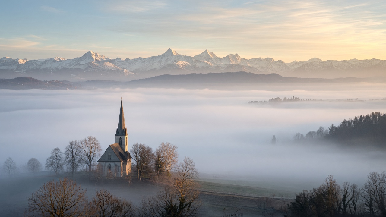
ZURICH. Monday starts under a lid of high fog on the northern side of the Alps, and MeteoSwiss does not expect the lid to lift for most of the plateau. A strong high sits over the British Isles. Switzerland is on its southern edge, which means a bise, grey lowland, and sun once you are above the fog. Afternoon temperatures in the lowlands are forecast at 6 to 9 degrees.
The federal office updated its forecast at 04:53. On the northern side and in the outer alpine valleys the cloud is high fog, with a top between 1,600 and 2,000 metres, rather than a weather front. Elsewhere it is mostly sunny. In the Mittelland the bise is moderate. In the mountains the wind is a moderate northeasterly, and the temperature at 2,000 metres is about 1 degree. Western Switzerland is a little kinder to the afternoon: the fog top there is put between 1,300 and 1,600 metres, with some brightening possible later, while the bise around Lake Geneva stays strong. South of the Alps, and in the Engadin, the day is often sunny and milder. Ticino can reach about 15 degrees.
The commute, and the days after
The hazard on the roads is visibility, not ice in the cities and not a storm. Fog and a moderate bise on the A1 and the A2 are the reason to leave extra time, especially where the deck sits on the plateau through lunch. Night-time roadworks add a separate list: drivers should check closures, including those announced for the Flüela tunnel and stretches of the A5, rather than assume a Monday morning diversion is still the one from the weekend. In the north-west, ordinary fog as well as high fog is in the morning picture.
Tuesday looks like a repeat, with stubborn high fog and a top around 1,600 to 1,900 metres, early temperatures near 2 degrees and afternoon highs again between 5 and 9. Wednesday may break the deck in places, with a lower top, around 1,300 to 1,600 metres, and some afternoon clearance. The rest of the week stays cool. Single-digit highs are the working assumption for the plateau until the pattern shifts.
What this Monday is, and what it is not
This is not Sunday’s forecast recycled. Sunday was high fog and a freshening bise too, but Monday’s official note is colder and more settled: a high over Britain, a fog top that can reach 2,000 metres, and afternoon highs that barely threaten 10 degrees on the plain. Above that line the peaks are in sun. Below it, Zurich, Bern and Basel are in the grey.
A week that also includes a motorway speed plan and a tight diesel reserve is a week in which the weather is also a fuel story. No 80 km/h limit has been ordered. Monday’s sky does not change that file. It does change the drive to work: headlights on, a bise on the viaducts, and no reason to expect the sun in the city before the fog decides to thin.