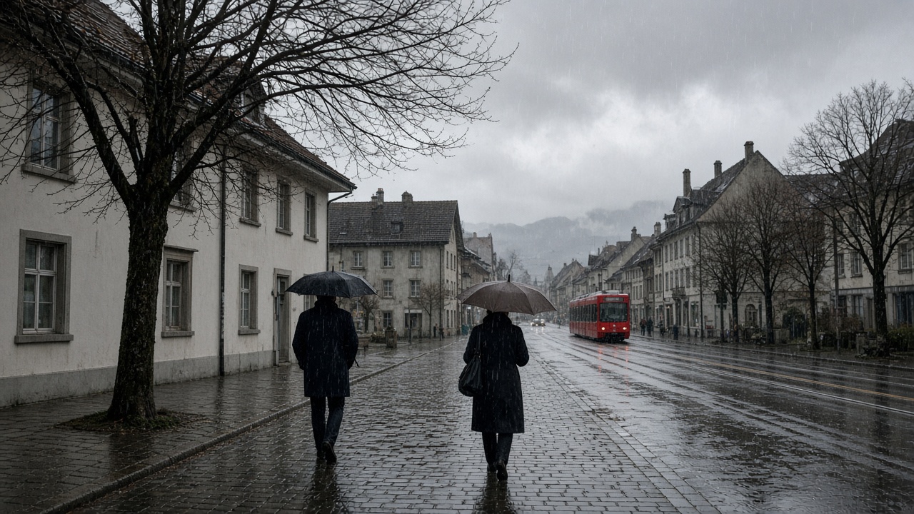
ZURICH. Monday is a grey, wet day on the north side of the Alps, and a milder one than the cloud makes it look. MeteoSwiss, in its update on Monday morning, expects a very cloudy sky with light rain north of the Alps, more persistent in the north-east. Northern and central Graubünden see little or none. The snow line rises towards 2,500 metres. On the plateau the afternoon high is about 9 degrees, and foehn valleys in the Alps can reach about 13.
Western Switzerland and Valais are in the same grey, with rain on and off that becomes heavier in the night. The snow line there climbs from about 2,200 metres towards 2,500, and as high as 2,700 overnight. Breaks are more likely in Valais. The afternoon high on the plain is about 10 degrees. At 2,000 metres the temperature rises from about 4 degrees towards 6. Above roughly 2,000 metres the slopes stay in cloud.
What the snow line is doing
A rising snow line is good news for the passes and bad news for anyone hoping the peaks will keep today’s precipitation as snow. Rain at 2,400 metres does not build a base. It wets one. The north-east is the region where the rain is most likely to last rather than shower, so a journey from Zurich towards St Gallen or the Thur valley should assume a wet road all day, not a shower at lunch. The Engadin and the southern valleys are the clearer exception on the morning charts, with the Tessin turning wetter later and in the night.
Wind is a mountain story more than a city story. MeteoSwiss has a moderate south-westerly, stronger on the ridges. That is the same flow that brings the foehn into the alpine valleys and the extra degrees that go with it. A valley at 13 degrees under a dark sky is not a sign the front has missed the country. It is a sign the wind is drying one side of a range while the plateau gets the rain.
Tuesday is wetter early, then a little milder
Tuesday starts under frequent rain, especially north of the Alps, with the snow line still up near 2,500 metres. It turns drier from the west later in the day, with short bright breaks possible, while the northern plateau can stay wet into the evening. Highs on the plain are about 12 degrees after a morning low near 8. In the west, if the breaks arrive, the afternoon can reach about 15. Wednesday brings a risk of fog on the plateau up to about 700 metres, then more cloud, with showers more likely near the Jura and the northern border before they spread. Highs near 14 degrees are in the Wednesday outlook.
Thursday and Friday look unsettled again, with the snow line dropping on Friday from about 2,000 metres towards 1,000 as a stronger bise arrives and the temperature falls from a morning near 9 degrees towards 3 by evening. Next weekend is the drier, colder sketch: fairly sunny, morning stratus, highs around 6 or 7 degrees. None of that changes the coat required today. Sunday’s fog and afternoon sun were the pause. Monday is the rain that was booked for the night, arriving in daylight and staying, on the north side, for the commute home. The seven-day forecast for Zurich, Geneva, Bern, Basel, Lugano and St Moritz is on the weather page.