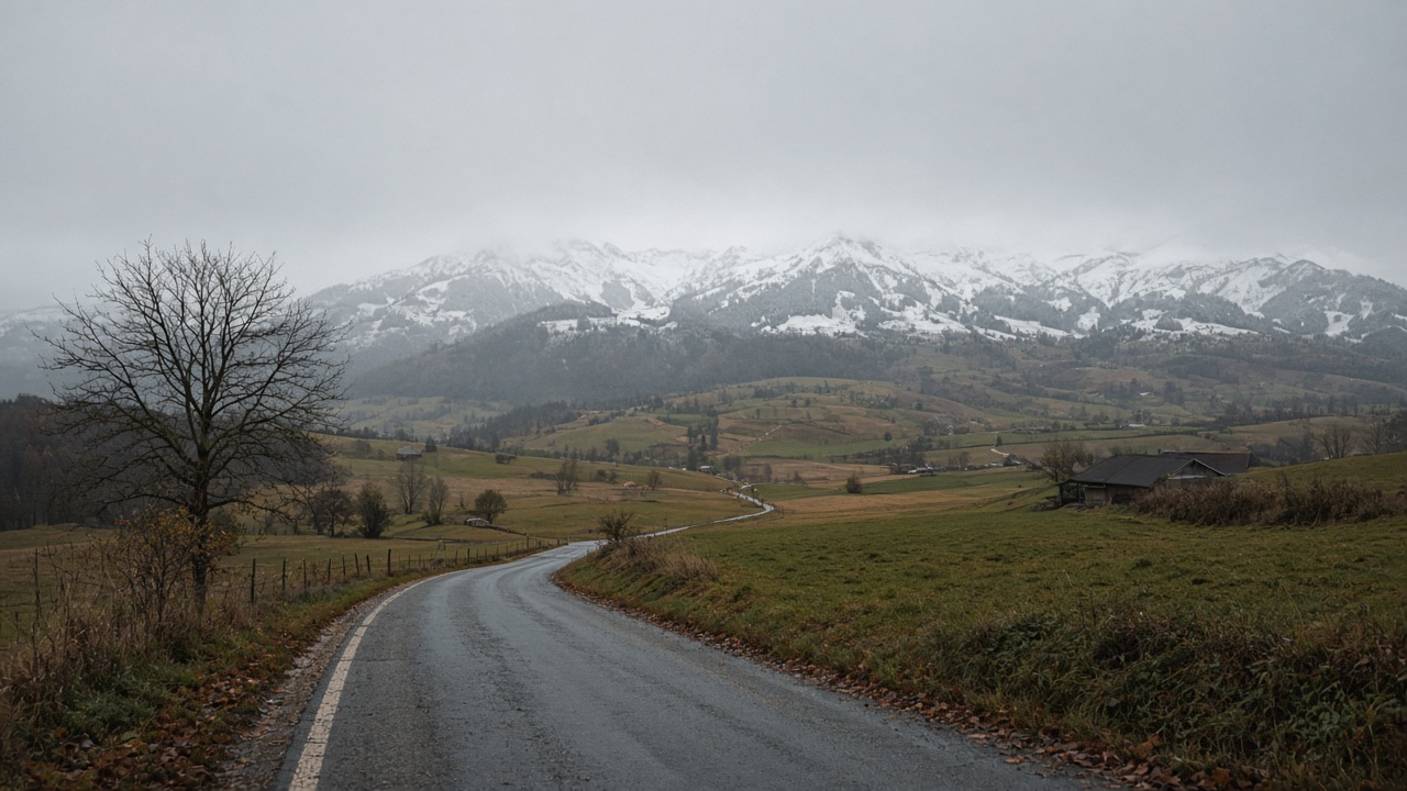
ZURICH. The bise that has pinned high fog against the Alps for more than a week is standing down. MeteoSwiss says the wind turns to the west from Friday and brings moister air with it. A low over the Mediterranean is steering that air into Switzerland. After a bright Thursday in the west, Friday is the day the grey comes back with rain in it, and with snow on the peaks that were in sun at the start of the week.
Thursday earned the reprieve. MeteoSwiss, as carried by Blick, had the morning fog and low stratus on the plateau topping out between about 800 and 1,100 metres, then breaking. The afternoon reached about 11 degrees by Lake Geneva, about 13 in La Chaux-de-Fonds, and 14 to 15 in the Rhone valley where a foehn tendency helped. Friday does not repeat that. Some fog is still possible on the plateau in the morning. Cloud then thickens quickly from the south-west.
Where the rain falls, and where it turns to snow
Moderate rain is expected to spread across the country through the day, heavier in the afternoon and evening, and heaviest in the Chablais. Highs on the plain struggle to reach 10 degrees. At 2,000 metres the temperature falls to about zero. The rain-snow line sinks gradually to between 1,600 and 1,700 metres, and locally below 1,500 metres by evening on the crests of the Jura.
That is a different mountain day from Thursday, when the high fog sat just under 1,500 metres and the Alps above it were the bright part of the map. On Friday the bright part shrinks. A resort that starts the morning above a thin fog bank should not assume the afternoon stays dry. The snow line is the planning number: below it, wet roads and low cloud; around it, slush; above it, the first real cover of this disturbance. The exact line moves. The direction on Friday is down, not up.
No cold snap behind the cloud
MeteoSwiss does not have a cold outbreak on the charts behind this change. Highs on the plain over the next few days settle between about 7 and 12 degrees, which is close to the season. Further out, the models even lean milder. The west flow that takes over the weekend can bring further weak disturbances. Cloud makes widespread fog less likely, though a morning patch in a valley is not ruled out. The week changes its wind. It does not change its temperature regime into winter.
Saturday starts grey, with some showers, then brighter breaks return on the plain and the best of the day is about 11 degrees. Sunday keeps cloud on the plateau for a time and then looks broadly dry and partly sunny. A milder start to next week is possible. None of that is a promise for a summit. It is a promise that the plateau is not about to drop into a hard frost just because Friday is wet.
How to use the day
On the plateau, use dipped headlights in the morning fog and again when the rain sets in. Daytime running lights do not always switch the tail lamps on, and a camera is a poor judge of spray. In the Chablais, leave the margin for the heavier rain late in the day, not only for the morning. On the Jura crests, a pass that is wet at lunch can be slick by evening if the snow line dips under 1,500 metres. In the Valais, Thursday’s foehn warmth is not Friday’s forecast. The valley can still be milder than the plateau, and the cols will not be.
The useful split is height, not canton. Ten degrees and rain in Zurich, Geneva and Bern is a coat day. Zero degrees and snow at 2,000 metres is a different coat, and a different set of tyres if the road climbs. The seven-day forecast for Zurich, Geneva, Bern, Basel, Lugano and St Moritz is on the weather page. Friday is the hinge of this particular week: the bise leaves, the Mediterranean low delivers the moisture, and the snow line comes down to meet it.