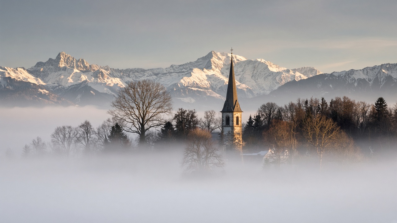
ZURICH. High fog still covers the north side of the Alps on Wednesday, but it sits lower than it did at the start of the week, and the bise is easing. MeteoSwiss, in its 04:32 forecast, put the fog top over the German-speaking plateau and the pre-Alps at 1,300 to 1,600 metres, with breaks in places during the afternoon. Above that line, and away from the main Alpine ridge, the day is mostly sunny. The ridge itself is cloudy, with the cloud arriving from the south.
Afternoon temperatures on the northern plain are 6 to 10 degrees, and about 12 in the Chur Rhine valley. The bise on the plateau is moderate rather than strong. In the mountains a south to south-east wind is picking up, moderate in strength, with a foehn tendency in the Alpine valleys. At 2,000 metres the temperature is about 3 degrees. In western Switzerland the fog top is lower still, 1,000 to 1,400 metres, the bise is weak, the afternoon on the plain is about 8 degrees, and the Valais can reach 13 with that foehn tendency. At 2,000 metres in the west, about 2 degrees.
A lower deck, and a quieter wind
Monday and Tuesday were the days the bise blew hardest, MeteoSwiss wrote in its blog on the high-pressure pattern. From midweek the north-easterly flow eases, while a south-easterly flow holds over the Alps. That is why the chance of the fog breaking is better today than it was on Tuesday, when the deck ran as high as 2,000 metres in places. A church spire that was inside the cloud yesterday may be in the sun by this afternoon. A valley floor may not. The practical difference is the top of the fog, not a change of season.
The south is the cloudier half of the country. Public forecasts for Ticino and the Engadin put highs around 11 to 12 degrees, under skies that are often overcast, with a little rain possible. Mountain roads on the southern side of the Alps can see a flake above roughly 1,500 metres. That is not a dump. It is a reason to check a pass before driving it, and not to treat a sunny reading in Zurich as a description of the Gotthard.
Thursday and Friday
Thursday keeps the pattern and lowers the fog again. MeteoSwiss expects a widespread deck over the plateau and along the pre-Alps, with a top of 900 to 1,200 metres and breaks during the day. Elsewhere, mostly sunny. Morning temperatures on the plain are 0 to 5 degrees. The afternoon is 7 to 10, and as high as 14 in the Chur Rhine valley. The mountain wind stays southerly at times, with a foehn tendency in the valleys, and about 5 degrees at 2,000 metres. In the west, the afternoon is about 8 degrees and the Valais can reach 14.
Friday is the first day that looks different. Fog or low high-fog in the morning over the central and eastern plateau, top around 1,000 metres, then thicker cloud arriving from the south-west. Some precipitation is likely by afternoon, including along the main ridge, with a snow line around 1,700 metres. Afternoon temperatures on the plain are about 8 degrees, and up to about 11 in the Chur valley. At 2,000 metres the temperature falls towards 2 degrees. Saturday is changeable, with a possible fog patch in the morning, limited rain most likely in the east, a snow line near 1,600 metres and highs of 6 to 10. Sunday and the start of next week are less certain: more cloud, a chance of rain, and a snow line that may lift back above 2,000 metres.
What to do with it
On the plateau, switch dipped headlights on in the fog. Daytime running lights do not always wake the tail lamps, and a camera is a poor judge of a grey morning. In the Valais, early frost is possible on bridges and shaded bends where the morning starts below zero. Above the fog in the north, the sun is real and the wind on a ridge is not the temperature in Chur. The walk that looks clear at the car park can be in cloud once it crosses the main chain. Wednesday is a day for the height of the fog, not for the strength of the bise. The wind that organised the week is standing down. The grey on the valley floor has not.