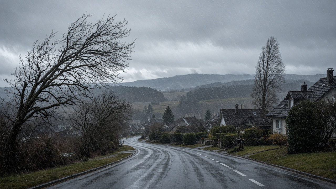
ZURICH. The federal government has issued a danger level 3 storm warning for northern Switzerland on Tuesday. The zone runs from the Jura and the Basel region across the northern plateau to Zurich, Schaffhausen and parts of eastern Switzerland. On exposed summits the wind can reach 100 to 150 kilometres an hour. On the northern plain the peaks of the gusts are put at 70 to 90, and about 100 in the most open spots.
Meteorologist Roger Wick told 20 Minuten that this is a full-grown autumn storm. “This is not the end of the world, but it is definitely not weather you should underestimate.” Larger branches can break. Objects that are badly fixed can travel. MeteoSwiss warns of falling branches and trees, and tells people to stay out of woods. On a ridge, Wick’s line is plainer: at these speeds you have no business on an exposed path or a summit.
Where danger level 3 applies
Level 3 is the middle of a five-step scale. It is the step at which the warning stops being advice for the mountains and becomes a warning for towns. Tuesday’s map is a northern one. The south side of the Alps stays largely sheltered from the rain, which is the usual bargain of a strong westerly: the plateau and the northern slope take the weather, Ticino does not.
The same flow that brings the wind brings the water. By Wednesday morning, Wick expects 35 to 60 litres of rain per square metre on the alpine north slope, in the western Bernese Oberland and in parts of western Switzerland. The plateau gets repeated rain rather than one cloudburst. The hours he marks as the roughest run from Tuesday afternoon through the night and into early Wednesday. The wind eases for a time on Wednesday evening. It does not finish the week.
A high snow line, then a colder Saturday
The snow line starts unusually high, around 2,300 to 2,500 metres. “Even in many winter sports resorts it rains first, instead of snowing,” Wick said. A village that looks ready for a dump on a poster can spend Tuesday in the rain. Monday’s forecast already had the jet over Switzerland on Wednesday. Tuesday morning’s warning adds the official level, the rain totals, and a snow line that begins higher than a skier would like.
Thursday and Friday bring further fronts. Wick called the pattern a long, very dynamic westerly. Colder air arrives towards the end of the week. By Saturday the snow line could sink to about 1,000 metres, which is when the Alps start to look like winter even if the resorts spent Tuesday wet. Read the height of the place you are going, and read it for the day you are going, not for the weekend as a single lump.
What to do before you go out
If the trip is a ridge walk or a pass on Tuesday or Wednesday, move it. If it is a valley appointment, allow for a gust that bothers a high-sided van more than a car, and for a branch on a wooded road. Balconies in the Jura and along open lakes are the domestic version of the same warning: anything loose should already be inside. The heating-oil release Bern opened last week is a separate supply question. This storm does not, by itself, empty a tank. It does make a delivery across a pass less predictable.
The figures worth keeping from Tuesday morning are short. Danger level 3 in the north. 100 to 150 kilometres an hour on exposed peaks. 35 to 60 litres of rain on the northern slope by Wednesday morning. A snow line that starts near 2,400 metres and may be near 1,000 by Saturday. The jet does not negotiate, and neither does a wet branch.