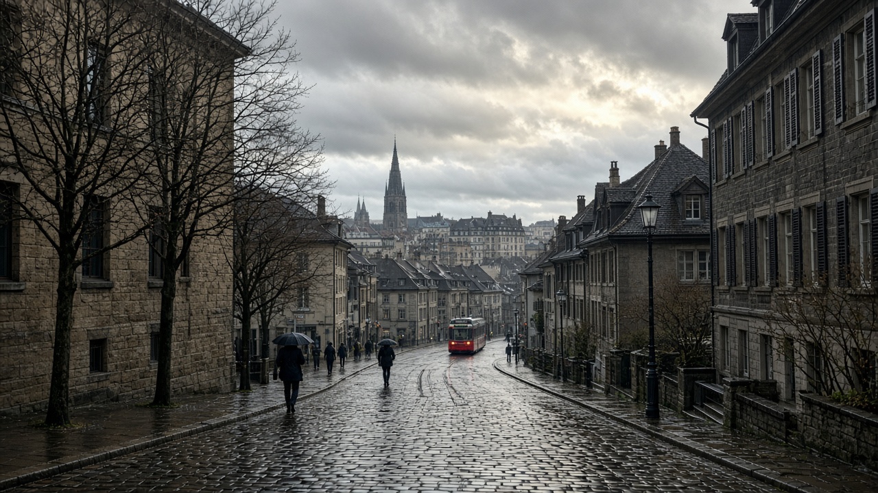
ZURICH. Sunday is a quieter day between wetter ones, not a dry weekend. A low sits over the British Isles and Switzerland is on its forward side, with the wind turning south-west. MeteoSwiss says cloud fields will cross the sky at times. A little rain is possible in the morning and again towards evening. Between those windows the weather is largely dry, with some brighter spells. Afternoon temperatures on the plateau climb back to about 10 degrees. A south-west breeze picks up, most of all towards the Jura.
That is the picture for German-speaking Switzerland, the west, and Valais alike. South of the Alps and in the Engadine the sky is often cloudy, with few bright breaks, and a little rain is possible, though much of the day stays dry. The six-day overview, updated on Sunday morning, put today’s highs at about 9 degrees in the north-east, about 11 in the west and about 9 in the south, with a cold start in the north-east. Ten degrees is the right figure for a city afternoon. It is not the figure for a dawn departure.
A short day, and a lower snow line than Wednesday
Daylight is already short. In much of the country the sun is gone by about five in the afternoon, so the evening rain risk lands in the dark. Wednesday’s snow line sat near 2,400 to 2,500 metres. The outlook MeteoSwiss published on Friday for the new pattern is lower. For Sunday and Monday the rain-snow line is expected to swing between about 1,500 and 2,000 metres. Through the rest of the week it is more likely between 1,200 and 1,700 metres, depending on the timing of each front. That is ski-resort weather in a way Wednesday was not. It is also a reason to treat a Sunday walk above the tree line as a winter walk.
The week ahead is the larger story. After a blocked, sluggish start to November, a strong westerly jet is expected to drive a train of Atlantic disturbances into the Alps. MeteoSwiss describes frequent precipitation, heavy in places, and west winds that are often stormy in the mountains and at times strong on the plain as well. Moisture plumes inside the warm sectors could add to local totals. The exact sums will move as the fronts do. The direction will not: this is a wet, windy week, not a high-pressure week.
What to wear, and what to put off
A waterproof layer is enough for a Sunday in Zurich or Bern if you are out in the middle of the day and back before dusk. Geneva and the west are more likely to see rain. Morning and evening are the colder, wetter ends. Cyclists should expect the south-west breeze near the Jura to matter more than the 10 degrees. Drivers on a wet road in the dark do not gain anything by treating Sunday evening as an extension of the dry afternoon.
The trip to postpone, if you can, is a high route on Monday or Tuesday. The snow line is falling just as the wind in the mountains becomes the story. A valley forecast of 10 to 14 degrees early in the week, which is the range the overview sketches for Monday and Tuesday on the plateau, does not describe a ridge. Check the resort, not the city, before you commit to a pass. And if you have been waiting on a dry day to do a job outside, Sunday afternoon is the window. The queue of fronts behind it is the reason the window is small.