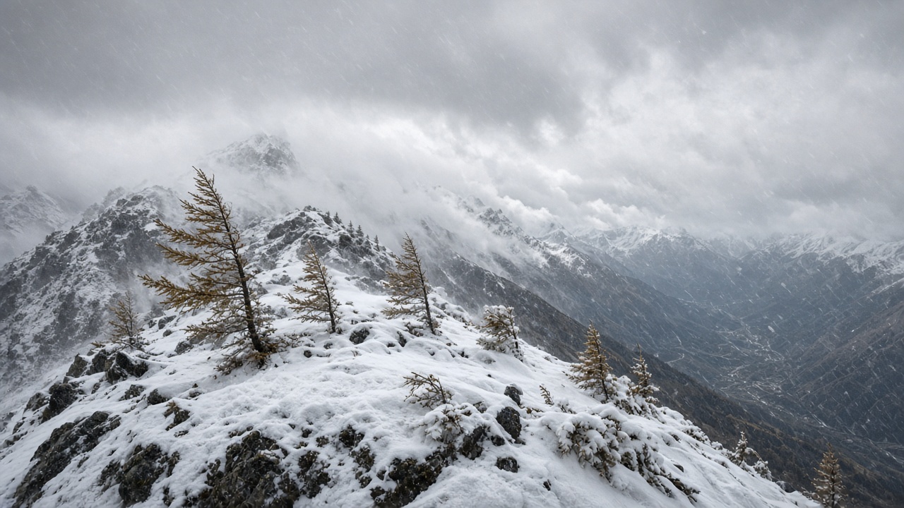
ZURICH. A run of Atlantic lows passing north of Switzerland will make this a windy, snowy week in the mountains and a gusty one on the plain. MeteoSwiss said on Monday that a moderate to strong south-west wind is already blowing, with a strong westerly in the Alps and stormy bursts over the Jura and the pre-Alpine summits. The lowlands can turn very windy too. Cloud is variable to heavy, and showers keep coming through.
Tuesday and Wednesday are the days the warnings are written for. SRF Meteo expects strong to stormy gusts on the plain on both days. In the mountains, hurricane-force gusts of 100 kilometres an hour, and locally 150, are possible. On Wednesday the jet stream lies directly over the country, which is why the wind is not only a high-altitude story. If you have a journey across an exposed bridge, a lake, or a pass, Wednesday is the day to give yourself time.
Where the new snow actually falls
Monday’s snow line sits near 1,500 metres. On the northern slope of the Alps and in the Bernese Oberland, MeteoSwiss expects 5 to 15 centimetres above about 1,900 metres, and as much as 20 centimetres in places. North and central Grisons get less, from nothing to about 5 centimetres. That is a dusting for a valley and a proper fall for a high resort. It is not the same storm in Chur as it is above Grindelwald.
The snow line then jumps. In the night before Tuesday it rises to between 2,200 and, locally, 2,700 metres, so fresh snow is limited to the highest ground, from about 2,800 metres, with 10 to 20 centimetres there. On Wednesday the line falls back to about 1,600 metres. Above about 2,000 metres, another 10 to 25 centimetres is expected, and 1 to 10 centimetres in north and central Grisons. A resort that looks green at lunchtime on Tuesday can be white by Wednesday evening. Read the height of the village, not the height of the poster.
What Monday itself is for
Monday is the windy, showery start, not the peak. Sunday was the milder pause, with afternoon temperatures near 10 degrees and rain at both ends of the day. The pattern behind that pause is the one MeteoSwiss had already flagged: a westerly jet driving fronts into the Alps. The new information on Monday morning is the speed of the wind and the way the snow line yanks up and then down. Temperatures on the plain can still feel like a November afternoon. A ridge at 2,000 metres will not.
Walkers should treat anything above the tree line on Tuesday or Wednesday as a winter day with a wind problem on top. Check the hut and the pass before you leave the valley. Drivers on high roads should assume gusts even where the forecast town is only “windy”. Loose items on balconies in the Jura and along exposed lakes are the dull domestic version of the same warning. The heating-oil release Bern opened last week is a separate supply question. This week’s weather does not, by itself, empty a tank. It does make a delivery across a pass less predictable.
A short list before you go out
If the trip is optional and it crosses a pass on Tuesday or Wednesday, move it. If it is a valley appointment, allow for showers and for a gust that will bother a high-sided van more than a car. If you are going to a resort, ask what fell above 2,000 metres, not what fell in the village. The figures to keep are the ones SRF Meteo and MeteoSwiss published on Monday: 100 to 150 kilometres an hour on the peaks, a snow line that spikes toward 2,700 metres and then sinks toward 1,600, and the heaviest new snow above about 2,000 metres on Wednesday. The jet does not negotiate.