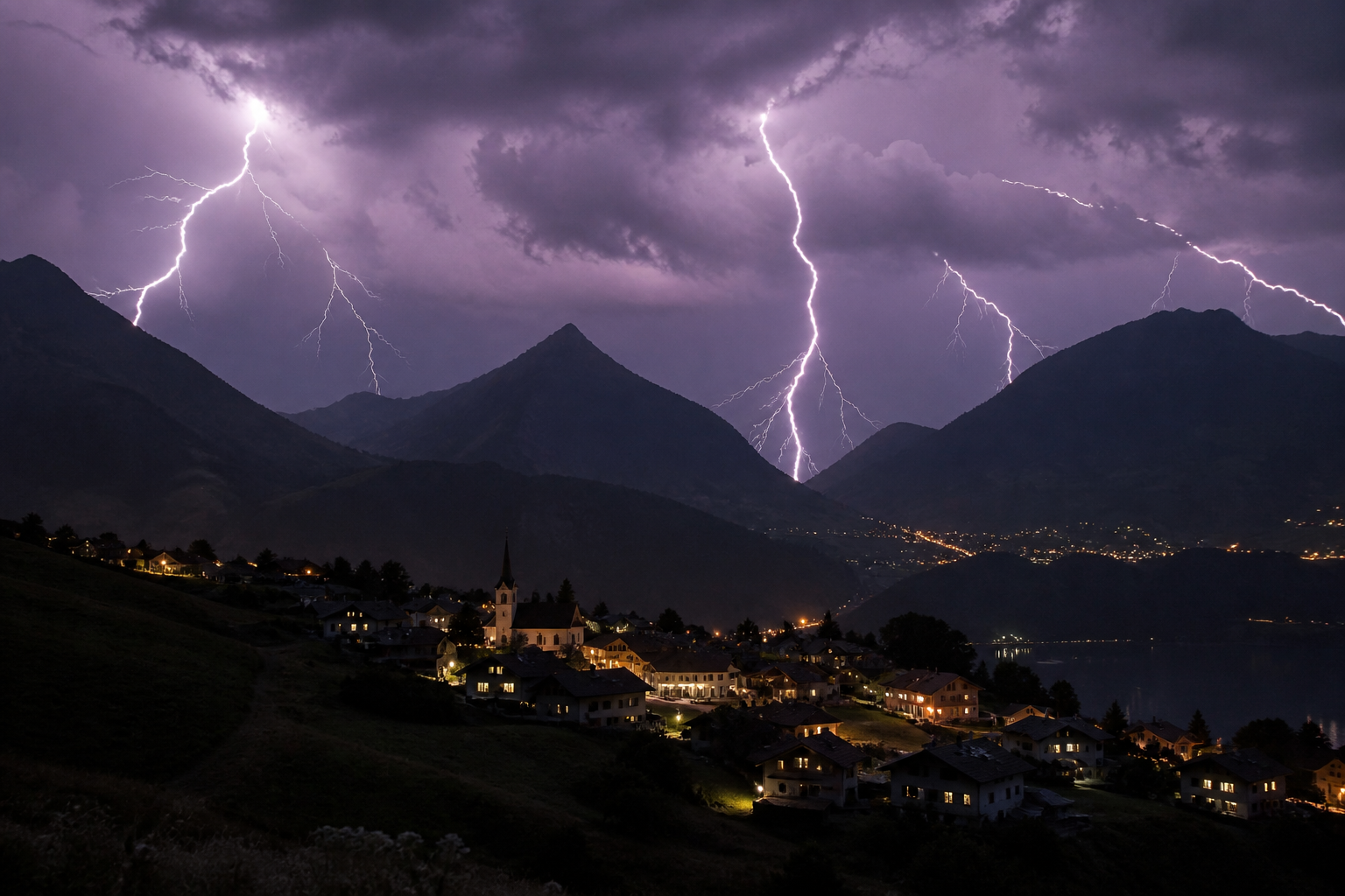
ZURICH. The driest summer in Switzerland’s recorded history was also one of its most electric. The detection network Meteorage counted 22,158 cloud to ground lightning strikes over the country between 1 June and 31 August, it reported on Tuesday, enough to give Switzerland the second highest lightning density in Europe.
The absolute number is modest against the big western European states. Italy, France and Spain each recorded far more strikes, out of a continental total of 893,458. The ranking changes when the map is folded to size: measured per square kilometre, Switzerland absorbed 2.43 strikes over the season, behind only Italy at 4.73 and ahead of the Netherlands at 2.39, Belgium at 2.20, France at 2.09 and Germany at 1.30.
August did most of the work. The month produced 7,993 strikes and 27 days with thunderstorm activity somewhere in the country, and it ended with a closing salvo: 1,886 strikes on 28 August alone, the day the long drought finally broke over much of the north.
Joris Royet, head of weather projects at Meteorage, cautioned against reading the season as a record. The summer of 2026 does not rank among the most lightning prone of recent years, he said; what distinguished it was severity. Numerous severe thunderstorm episodes crossed Europe, with conditions repeatedly favouring supercells, the rotating storms that bring destructive gusts, heavy hail and, locally, tornadoes. Activity ran well above the summer of 2025, which at 20,597 Swiss strikes was the quietest since the network’s records began.
The geography explains the density. The Alps force warm, moist air upward faster than almost any terrain in Europe, and the country’s valleys, lakes and south facing slopes create their own local storm engines. A compact country full of ridges and funnels will always collect more lightning per square kilometre than a flat one.
The paradox of the season, drought and storms in the same summer, is less strange than it sounds. The heat that emptied the rivers also loaded the atmosphere with energy, and when Atlantic fronts finally broke through, they detonated. Much of the rain that fell arrived in a few violent hours, which is why the storms refilled reservoirs without ending the drought’s deeper deficits, and why flash flooding rather than relief was the first result in several valleys.
The damage bill is still being counted. Insurers report a heavy season for hail claims on cars, roofs and crops, and the storms of late August left their mark on transport, with flooded underpasses and closed rail lines. The hail that battered the Valais vineyards weeks before the harvest will show up in this year’s crop figures.
For the public, the seasonal advice stands unchanged: storms build over the mountains after midday, and the rule for hikers is to be off the summits by early afternoon, away from isolated trees, ridgelines and water when thunder follows lightning by less than thirty seconds. Most of the summer’s casualties were people caught in exactly those places.
A single season proves nothing about the climate, and Meteorage’s scientists are careful to say so. But the background warming loads the dice: a hotter atmosphere holds more moisture and more energy, and the long term expectation for the Alpine region is fewer storm days delivering more violent storms. The summer of 2026, hottest, driest and second most lightning dense in Europe, looked a great deal like that forecast.
The network’s count is final for the meteorological summer, which ends on 31 August. The atmosphere does not observe the calendar: with High Thomas rebuilding heat over the lowlands this week, the first storms of autumn are already on the forecast maps.