ROOT. ETH Zurich opened its newest competence centre on Friday, and its subject is the ground itself. The ETH Swiss GeoLab in Root, near Lucerne, will fuse satellite imagery, drone footage, ground sensors and weather data into an AI platform for Earth observation, aimed first at two targets: the early detection of natural hazards, and the optimisation of agriculture and forestry.
The opening in the D4 Business Village comes just under a year after the Jörg G. Bucherer Foundation funded the centre for ten years, with canton Lucerne as co-sponsor. ETH president Joël Mesot framed the mission in terms of the country’s recent summers: science cannot reverse events such as landslides, he said, but it can help detect disasters early and manage their consequences better. The core team should number around ten by the end of 2027.
A hundred petabytes of planet
The platform’s appetite for data is matched by new plumbing. Around 100 petabytes of publicly available NASA Earth observation and climate data, a volume the team compares to 20 million feature films, has already been transferred to the Swiss National Supercomputing Centre in Lugano, whose Alps supercomputer is itself being expanded. The data will train AI models that decision-makers, researchers and private companies will eventually be able to use.
First pilot: a moving glacier
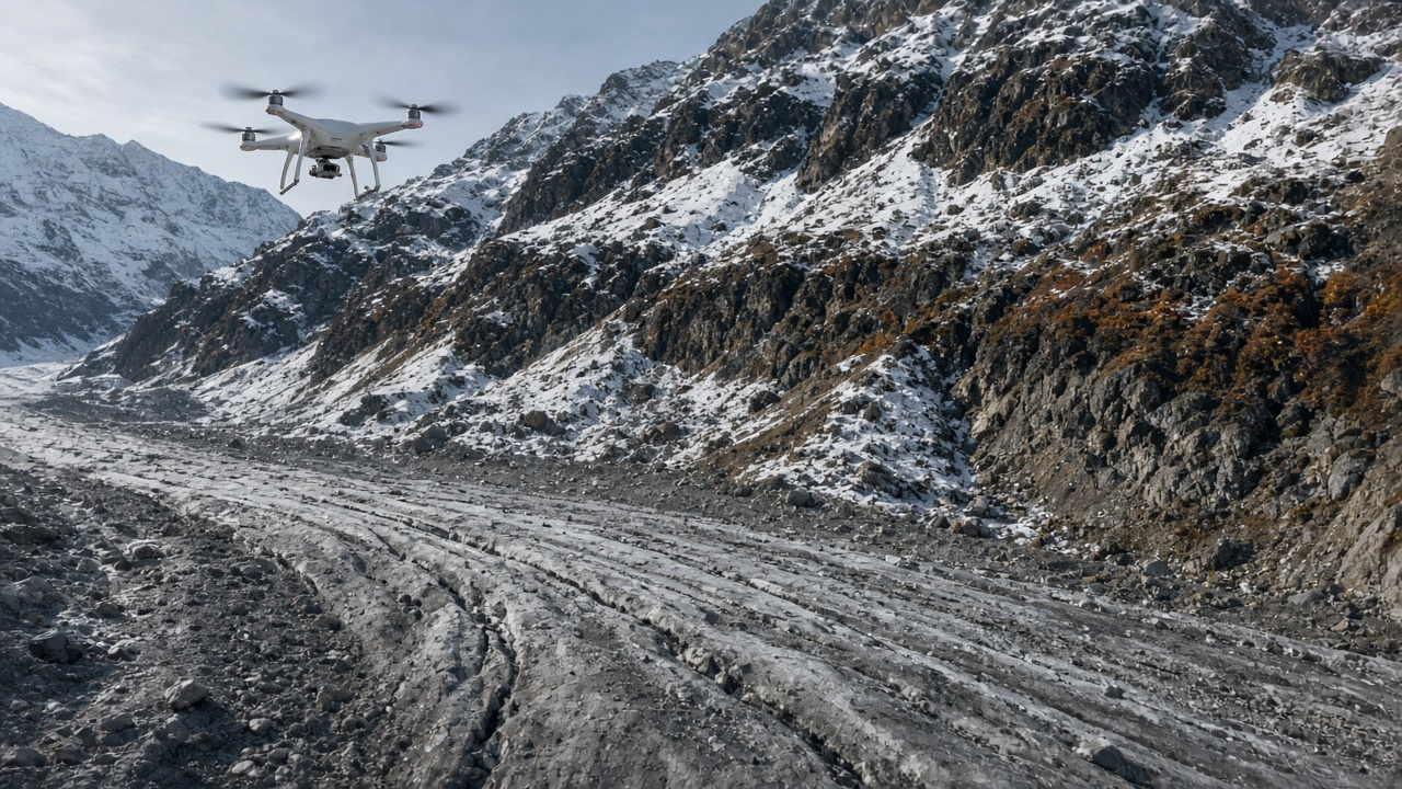
The first pilot project targets mass movements, rockfalls and landslides, in cooperation with the WSL Institute for Snow and Avalanche Research and the Federal Office for the Environment. In September, the team flew two drone-mounted radar systems over the Oigschtchummun glacier in the Lötschental with the companies Gravimon and Gamma Remote Sensing. The interferometric radar measured the ice surface creeping at around eleven centimetres a day, slowing to nine as autumn cooled the melt, closely matching parallel LiDAR measurements.
The managing director, Felix Seidel, is careful about what the flights were: technology experiments, not hazard monitoring. The point was to show that drone radar works in real alpine conditions, where satellites are limited by topography, cloud and viewing angle, and where ground sensors are thinly spread. It is a gap that matters in a country that lost 5.5 per cent of its glacier ice in a single year.
Over the coming months the GeoLab will analyse the flight data and assess where drone campaigns add real value to the cantonal early detection systems. The ambition, director Verena Griess says, is not to replace the authorities’ instruments but to extend them from a few watched valleys to the whole of the Swiss Alps.