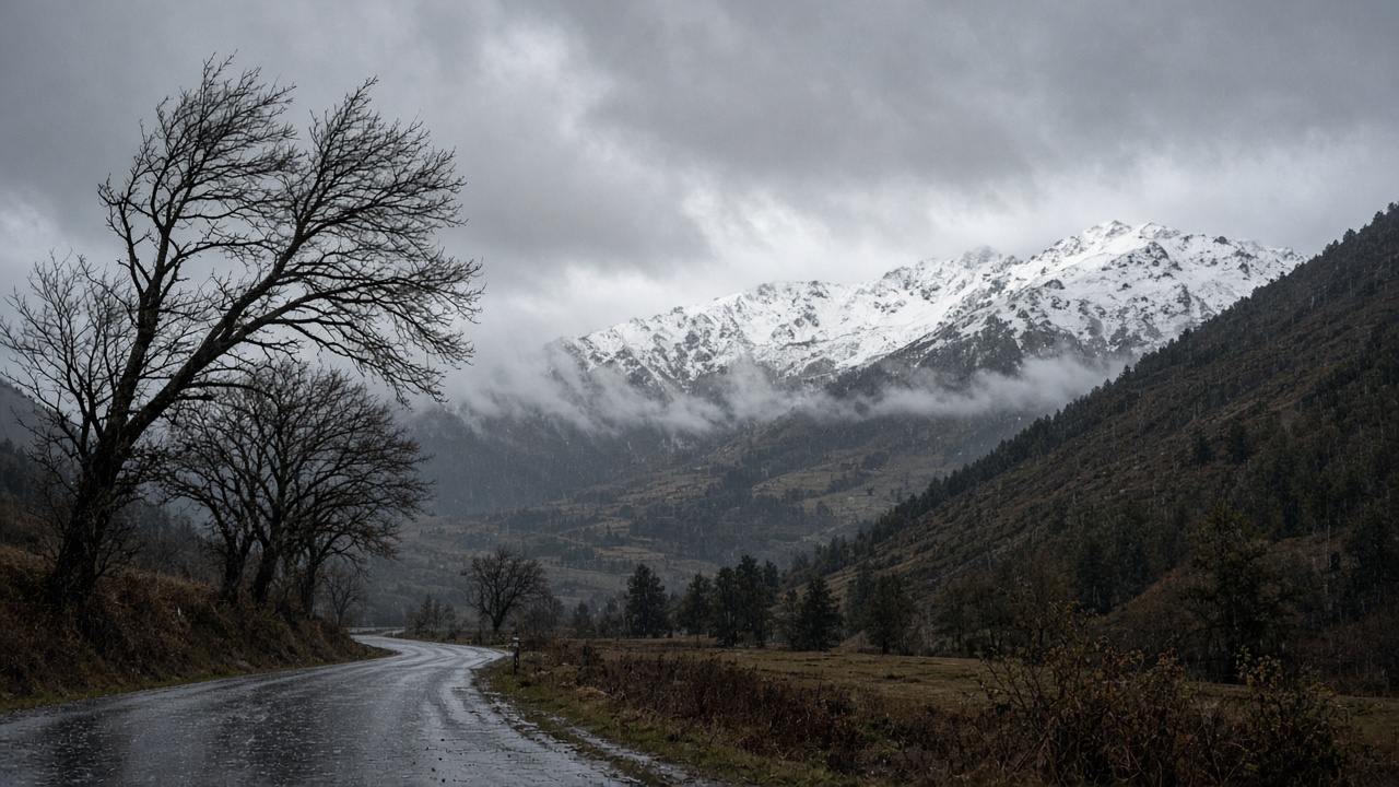
ZURICH. Thursday starts dull and wet on the northern side of the Alps and in western Switzerland, with a strong wind that is stormy in places. Dry spells and short bright intervals are expected around the middle of the day, and more showers after them. Snow falls from about 1,500 metres. South of the Alps and in the Engadin the morning is cloudy with some rain, and the afternoon is friendlier and mostly dry, with a little precipitation left in the mountains of northern Ticino.
That is the national picture from Thursday's public forecast. It is not the same sentence in every valley. MeteoNews, in the outlook carried by the NZZ, put the north and east at cloudy with hardly any rain, an afternoon high near 11 degrees and a night low near 8. A reader in Zurich should pack for cloud and a shower, not for a day spent indoors. A reader in Lugano gets the better afternoon. Both forecasts can be true of different slopes of the same country.
The wind has already had its strongest hours
The week's worst gusts were timed by MeteoSwiss for Tuesday afternoon through Wednesday morning, not for Thursday. In that peak, lowland gusts were put at 50 to 90 kilometres an hour, 70 to 110 on the Jura and on raised ground, and 110 to 140 on summits, with about 150 possible on the Säntis. A level 2 warning covered the lowlands at 70 to 90 and the mountains at 100 to 130. Thursday is the tail of that pattern, not a second storm of the same size. Wednesday morning was when the level 3 warning was due to end.
Some regions are still under a level 2 wind warning. In Schaffhausen it runs until 06:00 on Saturday. Exposed places there can see gusts of 70 to 90 kilometres an hour. Thursday's rain in that forecast was put at about 15 millimetres, with temperatures of 5 to 10 degrees. The practical advice attached to a level 2 warning is ordinary and worth following: small branches can break, and anything loose outside should be tied down or brought in. It is not a warning to stay off the roads.
Where the snow line is going
The snow line has been falling all week. MeteoSwiss put it near 2,500 metres on Tuesday, around 1,500 on Wednesday and Thursday, and down toward 1,000 to 1,300 metres by the weekend. The high Alps are in for a more serious burst of winter than the plateau, which stays comparatively mild. Through this spell, lowland highs were put at 10 to 15 degrees, and Tuesday and Wednesday were the mildest of them, at 13 to 15 and, with the wind, up to about 17. Thursday is the step down.
The weekend splits. Saturday brings a pause: the NZZ's north-and-east outlook has cloud, little rain, and a cooler pair of figures, about 9 and 3 degrees. Sunday turns dull and wet, near 4 and 2. Anyone heading above 1,500 metres on Thursday should expect snow on the road to the pass, not just on the peaks. Anyone staying on the plateau should expect a wet journey and a wind that has eased since breakfast on Wednesday, and has not gone away.
How to read two forecasts that disagree
A morning that one service calls "hardly any rain" and another calls "rain, then showers" is a normal argument about a showery west wind. The overlap is the part to trust. Cloud. A strong wind. Snow from about 1,500 metres. A drier south in the afternoon. The level 3 warning was Tuesday's story. Thursday's story is the snow line and the rain that is still crossing the plateau, with the worst of the gusts already in the past.